Your browser is not supported.
For the best experience, please access this site using the latest version of the following browsers:
By closing this window you acknowledge that your experience on this website may be degraded.
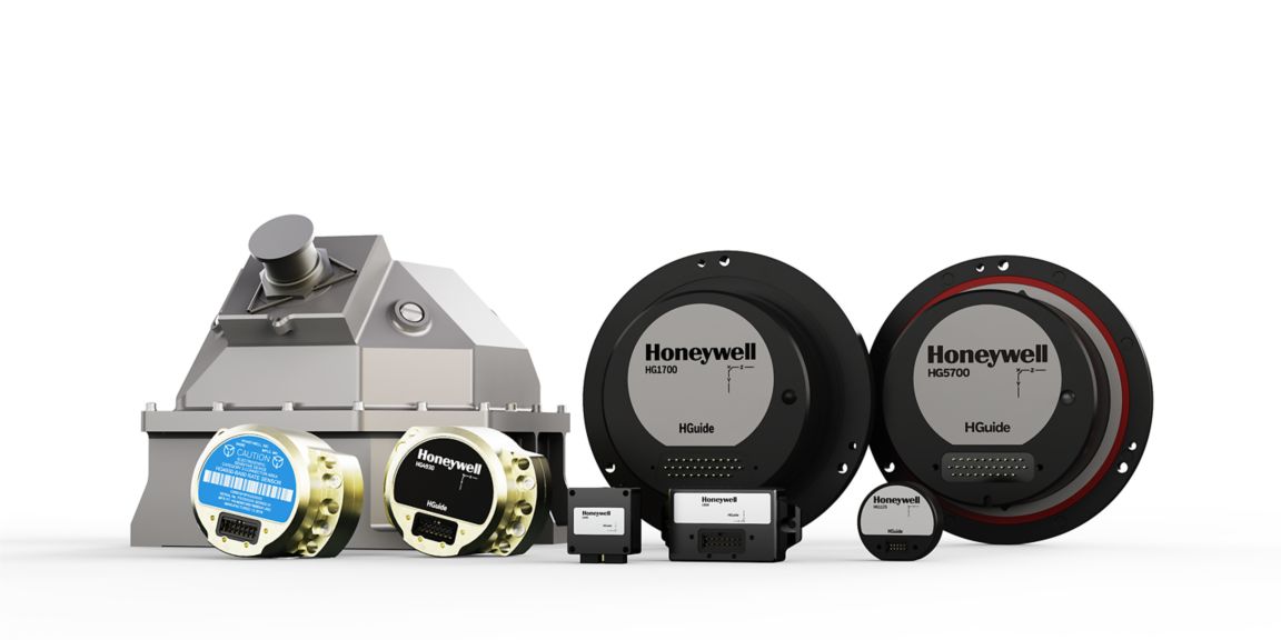
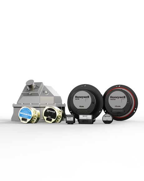
Honeywell HGuide Inertial Sensors and Navigators
Honeywell’s HGuide micro-electro-mechanical system (MEMS) inertial measurement units (IMUs) and inertial navigation systems are non-ITAR, and are specifically designed for industrial applications.
Honeywell is the world leader in high-performance IMUs and inertial navigation systems. Our HGuide product line features a variety of different products at multiple price and performance options, designed to meet the needs of every user.
Inertial measurement units (IMUs) use gyroscopes and accelerometers to sense rotation and acceleration. They can be used in any application for which it’s important to accurately measure and compensate for vibration and motion under the most challenging conditions. In addition to helping stabilize antennas and cameras, IMUs are also used on robots, autonomous vehicles and drones that require navigation in the absence of external aiding signals.
An inertial navigation system (INS) is comprised of an IMU, a global navigation satellite system (GNSS) receiver and sensor fusion software. These components work together to calculate position, orientation, and velocity to deliver critical navigation information in GNSS-denied areas like urban canyons, bridges, tunnels, mountains, parking garages and dense forests.
Contact Us
Please complete the form to speak with a Honeywell inertial sensor and navigation product expert.
Related Products
-
HGuide Customer SupportAnswers to Questions About HGuide Products.
-
Honeywell HGuide Data Reader SoftwareVisualize, record and playback your navigation data with Honeywell’s HGuide Data Reader software. Available to all HGuide customers, our free desktop software is simple to install, easy to use and conveniently hosts all of your data in one place.
-
HGuide i300 MEMS Inertial Measurement UnitThe HGuide i300 inertial measurement unit (IMU) is a small, non-ITAR, micro-electro-mechanical system (MEMS) IMU.
-
HGuide i400 MEMS Inertial Measurement UnitThe HGuide i400 inertial measurement unit (IMU) 0 is an advanced microelectromechanical system (MEMS) based inertial measurement unit (IMU).
-
HG4930 MEMS Inertial Measurement UnitThe HG4930 is a Micro-Electro-Mechanical System (MEMS) based Inertial Measurement Unit (IMU) designed to meet the needs of a range of applications.
-
HG4930 S-Class MEMS Inertial Measurement UnitThe HG4930 S-Class is a micro-electro-mechanical system (MEMS) inertial measurement unit (IMU) designed for applications like camera stabilization, antenna stabilization or gimbal stabilization.
-
HGuide n500 Inertial NavigatorMeet Honeywell’s HGuide n500 – world’s first Navgrade BYOG (Bring Your Own GNSS) all-attitude navigator enabling continuous position and attitude navigation.
-
HGuide n580 Inertial Navigation SystemThe HGuide n580 inertial navigation system is a small, lightweight, self-contained, allattitude inertial navigation system. The n580 can be used for a wide variety of industrial applications where continuous navigation information is a critical component.
-
HGuide n380 Inertial Navigation SystemThe HGuide n380 is an incredibly small, light-weight, self-contained, all-attitude Inertial Navigation System designed for applications where robust, continuous position and attitude navigation data is required.
-
HGuide o360 Inertial/GNSS NavigatorMeet Honeywell’s HGuide o360 – a single-card, all attitude Inertial/GNSS navigator for platforms needing high-performance navigation in ultra-low SWAP packages.
Related Content
-
Honeywell Builds on Long Legacy of MEMS Sensor TechnologyMEMS sensors are used to sense motion to orient your smartphone screen, trigger automobile airbags, enable the use of precision medical devices and much more.
-
How Inertial Navigation and Post-Processing Make Surveying/Mapping More ProfitableCompanies engaged in using LiDAR for mapping need flexibility and ease of use to improve operational efficiencies.
-
Five Ways Inertial Sensors Are Being Used to Navigate and Orient the FutureInertial sensors are navigating and orienting future manned and unmanned applications through the use of inertial measurement units and inertial navigation systems.
-
Honeywell's HGuide IMUs and Inertial Navigation SystemsIf inertial sensor technology can navigate aircraft, guide rockets and stabilize satellites, imagine what it can do for autonomous driving cars, unmanned aerial vehicles, cranes and robots.
-
LiDAR USA Achieves Greater Location Accuracy On The Ground and In The Air with Honeywell IMULiDAR USA integrates and manufactures high-performance LiDAR systems and mapping software on unmanned aerial vehicles (UAVs) and ground vehicles that are used for surveying and mapping.
-
Improving Our World’s Mapping Systems With Highly Accurate Inertial Navigation SystemsHoneywell’s HGuide n580 inertial navigation system improves the accuracy of Horus’ mobile mapping software by providing high reliable navigation data in GNSS-denied areas.
-
Honeywell Inertial Navigation System Delivers Precise Location AccuracyHoneywell HGuide n580 INS/GNSS navigator delivers precise navigation information for UAV hardware and service provider. Read more!