Your browser is not supported.
For the best experience, please access this site using the latest version of the following browsers:
By closing this window you acknowledge that your experience on this website may be degraded.
HGuide n580 Inertial Navigation System
IMU + GPS Aided Inertial Navigation System
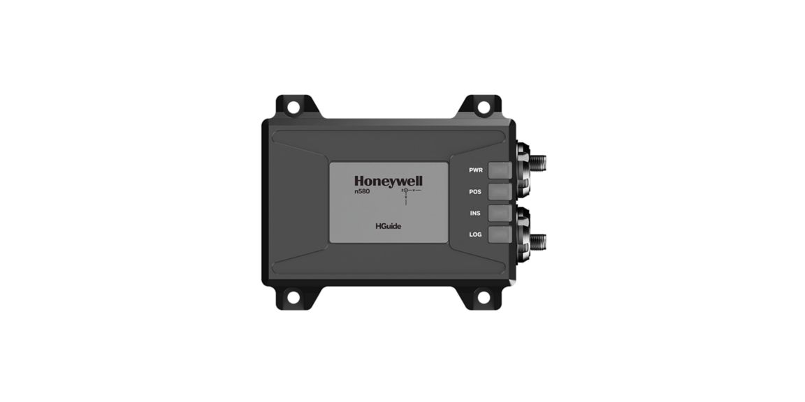
The HGuide n580 inertial navigation system is a small, light-weight, self-contained, all-attitude inertial navigation system. The n580 can be used for a wide variety of industrial applications where continuous navigation information is a critical component.
The HGuide n580 inertial navigation system contains Honeywell's leading- edge HG4930 IMU technology and a powerful dual-antenna, multi-frequency, multi-GNSS RTK capability. Honeywell's integration expertise blends the IMU and GNSS data to provide an accurate, robust navigation service to your application with all the functionalities that you need, even in extended GNSS-denied environments.
The HGuide n580 inertial navigation system output data includes time- stamped position, velocity, angular rate, linear acceleration, roll, pitch and heading information at 100Hz. The internal GNSS receiver delivers GNSS-based heading. The HGuide n580 can accept a wide variety of external aiding sources to improve performance in GNSS-denied conditions.
Key Honeywell Advantages:
- Honeywell proven navigation algorithms for air, land and sea
- World- class inertial sensor development, calibration and compensation
- Proven reliability, dependability and ruggedness
- Accepts RTCM3 GNSS corrections
- Highest performing Inertial/GNSS navigator of its size, weight and price
- Configuration flexibility. Only purchase the features you need.
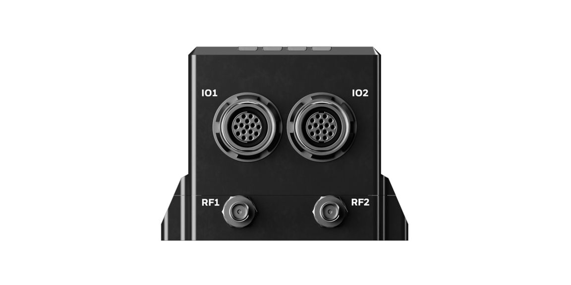
- Multiple configurable communication ports
- The HGuide n580 inertial navigation system is not ITAR controlled. Its Export Control Classification Number (ECCN) is 7A994
Available Accessories From Honeywell:
- HGuide n580 Terminated I/O Cable 1
- HGuide n580 Terminated I/O Cable 2
- HGuide n580 Unterminated I/O Cable 1
- HGuide n580 Unterminated I/O Cable 2
- Survey Antenna
- UAV Antenna
- 5m RF SMA Male to TNC Male Cable for Survey Grade Antenna
- 5m RF SMA Male to SMA Female Cable for UAV Antenna
RECENTLY ADDED IN 2022
We’ve refreshed our hardware to include the following new features:
- Ethernet connectivity
- Onboard data logging with USB access
- Direct DMI pulse input
- CAN J1939
- Status Indicator LEDs
- Enhanced Motion Detection algorithms
- Advanced Land Vehicle Motion algorithms
Contact Us
Please complete the form to speak with a Honeywell inertial sensor and navigation product expert.
Related Products
-
HGuide Customer SupportAnswers to Questions About HGuide Products.
-
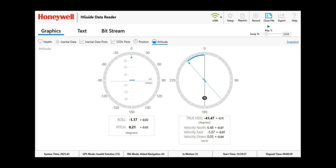
Honeywell HGuide Data Reader SoftwareVisualize, record and playback your navigation data with Honeywell’s HGuide Data Reader software. Available to all HGuide customers, our free desktop software is simple to install, easy to use and conveniently hosts all of your data in one place.
-
HGuide i300 MEMS Inertial Measurement UnitThe HGuide i300 inertial measurement unit (IMU) is a small, non-ITAR, micro-electro-mechanical system (MEMS) IMU.
-
HGuide i400 MEMS Inertial Measurement UnitThe HGuide i400 inertial measurement unit (IMU) 0 is an advanced microelectromechanical system (MEMS) based inertial measurement unit (IMU).
-
HG4930 MEMS Inertial Measurement UnitThe HG4930 is a Micro-Electro-Mechanical System (MEMS) based Inertial Measurement Unit (IMU) designed to meet the needs of a range of applications.
-
HG4930 S-Class MEMS Inertial Measurement UnitThe HG4930 S-Class is a micro-electro-mechanical system (MEMS) inertial measurement unit (IMU) designed for applications like camera stabilization, antenna stabilization or gimbal stabilization.
-
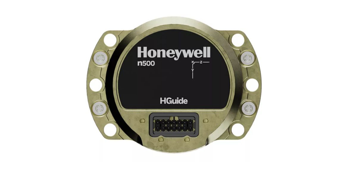
HGuide n500 Inertial NavigatorMeet Honeywell’s HGuide n500 – world’s first Navgrade BYOG (Bring Your Own GNSS) all-attitude navigator enabling continuous position and attitude navigation.
-
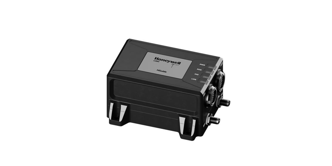
HGuide n380 Inertial Navigation SystemThe HGuide n380 is an incredibly small, light-weight, self-contained, all-attitude Inertial Navigation System designed for applications where robust, continuous position and attitude navigation data is required.
-
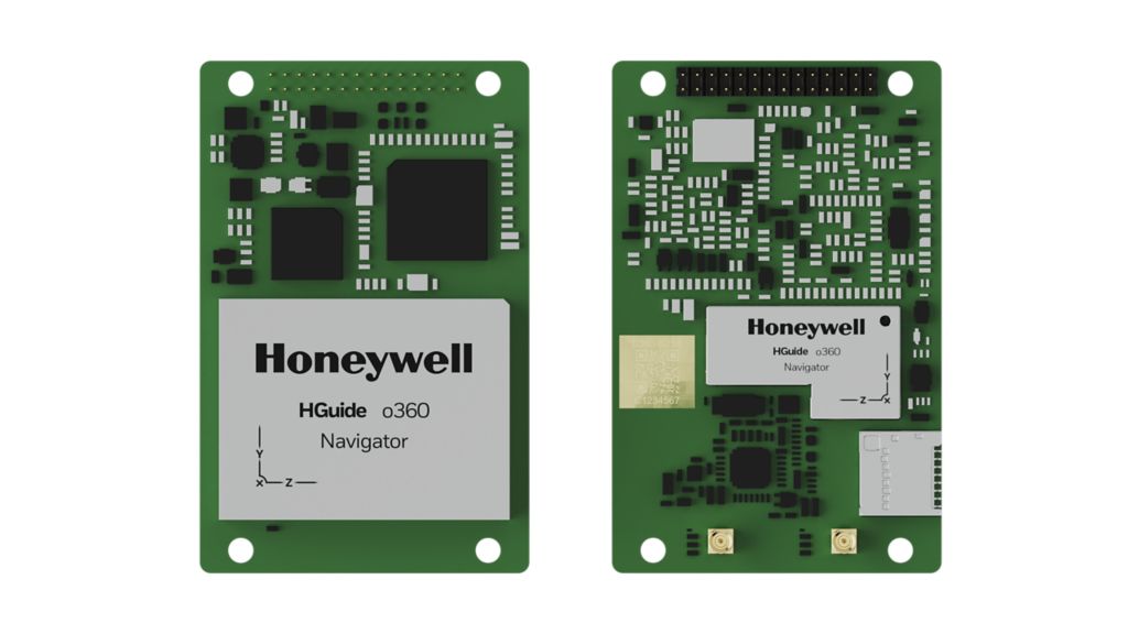
HGuide o360 Inertial/GNSS NavigatorMeet Honeywell’s HGuide o360 – a single-card, all attitude Inertial/GNSS navigator for platforms needing high-performance navigation in ultra-low SWAP packages.
Related Content
-
How Inertial Navigation and Post-Processing Make Surveying/Mapping More ProfitableCompanies engaged in using LiDAR for mapping need flexibility and ease of use to improve operational efficiencies.
-
Improving Our World’s Mapping Systems With Highly Accurate Inertial Navigation SystemsHoneywell’s HGuide n580 inertial navigation system improves the accuracy of Horus’ mobile mapping software by providing high reliable navigation data in GNSS-denied areas.
-
The Advantages and Disadvantages of An Inertial Navigation SystemFrom airplanes to drones and now autonomous vehicles, GNSS-aided inertial navigation systems (INS/GNSS) are enabling companies around the world to reach new heights in autonomy.
-
Honeywell Inertial Navigation System Delivers Precise Location AccuracyHoneywell HGuide n580 INS/GNSS navigator delivers precise navigation information for UAV hardware and service provider. Read more!
-
Why You Need a Highly Reliable INS for 3D MappingHoneywell navigation solutions provide customers with highly reliable inertial navigation systems (INS) for 3D Mapping.