HGuide o360 Inertial/GNSS Navigator
Overview

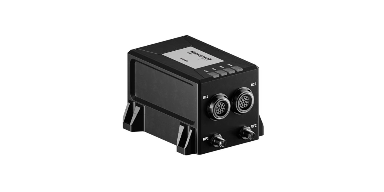
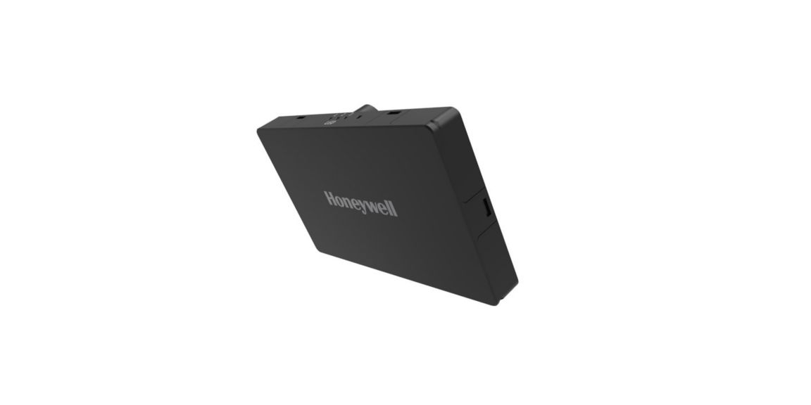
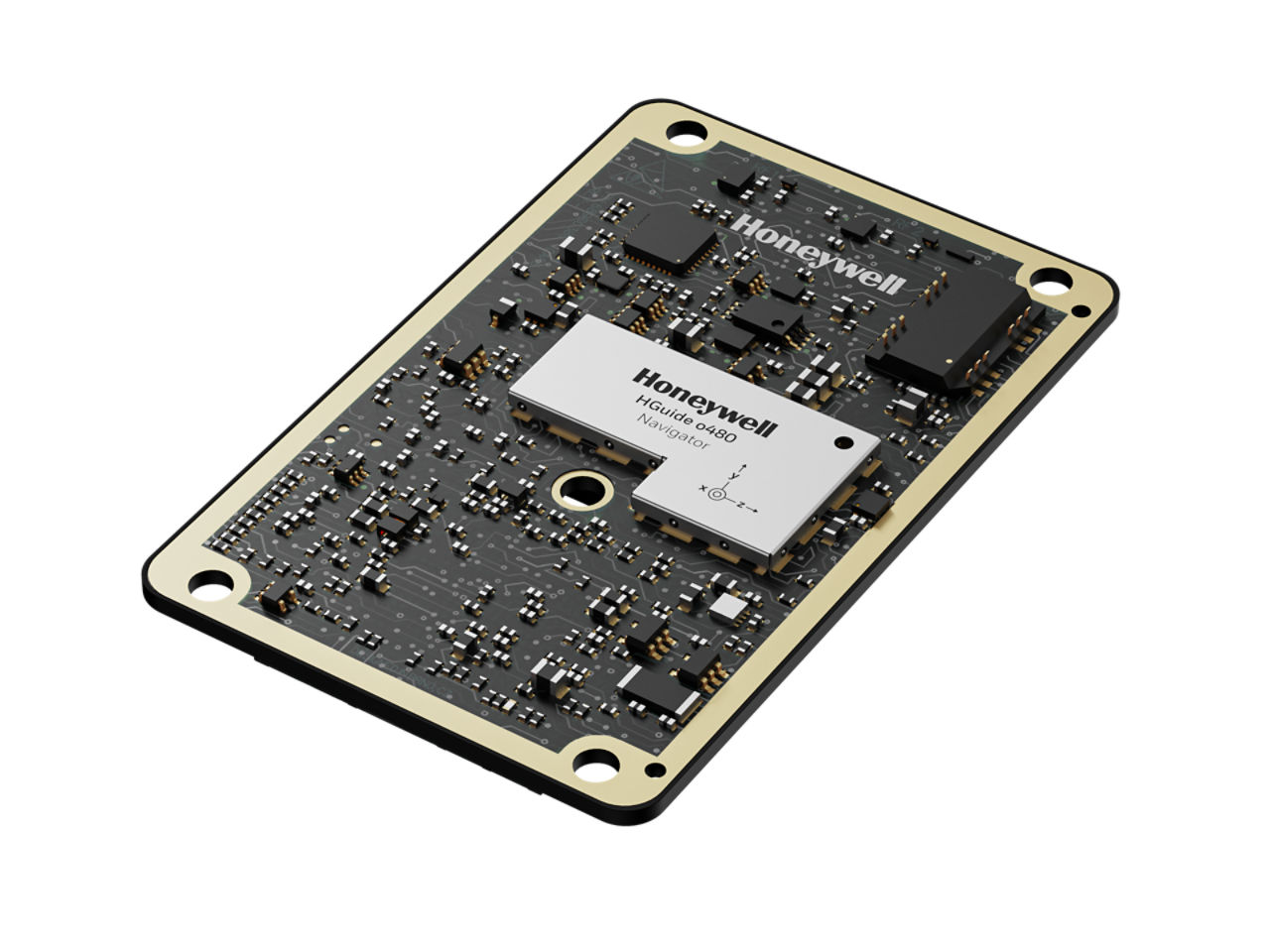
The HGuide o360 is a single-card INS/GNSS, all attitude Inertial/GNSS Navigator designed for any platform where high- performance navigation data is required in an ultra-low SWAP package. HGuide o360 INS/GNSS navigator contains a powerful dual-antenna, multifrequency, multi-constellation, RTK capable GNSS receiver, and Honeywell’s leading- edge i300 IMU technology and a high- grade calibrated Magnetometer.
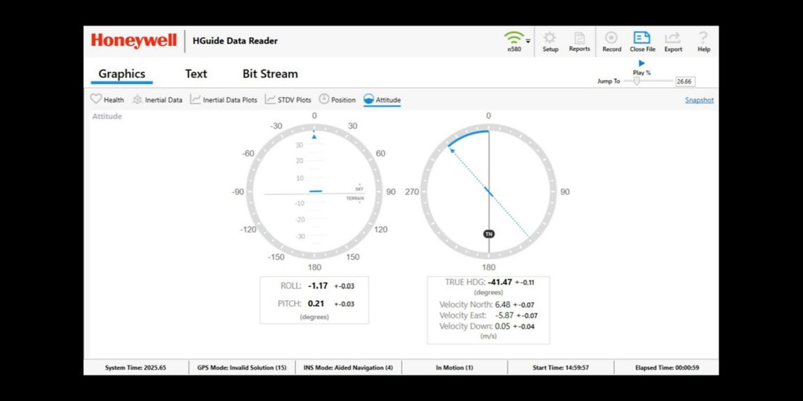
Honeywell Aerospace's sensor fusion expertise blends the IMU, GNSS and Magnetometer data to deliver an accurate, robust navigation service to your application with all the functionalities that you need, even through GNSS outages. The HGuide o360 output data includes timestamped position, velocity, angular rate, linear acceleration, roll, pitch and heading information at 100Hz. In dual-antenna mode, the device supports GNSS-based heading measurements and initialization.
Honeywell Aerospace's sensor fusion expertise blends the IMU, GNSS and Magnetometer data to deliver an accurate, robust navigation service to your application with all the functionalities that you need, even through GNSS outages. The HGuide o360 output data includes timestamped position, velocity, angular rate, linear acceleration, roll, pitch and heading information at 100Hz. In dual-antenna mode, the device supports GNSS-based heading measurements and initialization.
Specifications
Accelerometer Sensor Technology
- MEMS
Gyro sensor technology
- MEMS
Models
- P/N 68960360-CA18 = HGuide 0480 with Dual GNSS RF Input
Roll/Pitch Accuracy
- <0.015
Position (inertial)
- < 0.01 RTK
- < 0.6 SBAS
GNSS Capability
- SBAS, RTK, and Dual Antenna Standard
Key Benefits
- Compatible with most commercial LiDAR sensors
- Direct input of quadrature pulses from Distance Measurement Instrument (DMI)
- Full INS/GNSS capability in a common GNSS form factor
- Honeywell Aerospace advanced navigation algorithms for air, land and sea tailored to industrial applications
- Multiple, configurable communication ports including UART, Ethernet and CAN
- Onboard Data Logging available for IMU and GNSS data suitable for Post Processing
- Onboard NTRIP client and accepts RTCM3 corrections
- Proven reliability and dependability. MTBF >50,000 hrs
- Raw IMU Data Rate up to 600Hz, GNSS 5Hz
Operating Temperature
- -40 °C to +85 °C
Internal Data Storage
- On-board Micro-SD Card Slot with optional USB access
GNSS Constellations
- BeiDou Phase 2&3 B1/B2/B3
- GLONASS G1/G2
- GPS L1/L2
- Galileo E1/E5b
- SBAS (WAAS, EGNOS, MSAS, GAGAN,SDCM)
Communication Ports
- 4 x UART (LVTTL), USB, Ethernet & NTRIP Client, 2 x CAN (ISO 11898-2)
Data Rate
- 100Hz
Power Consumption
- 3 Watts Watt
Supply Voltage
- +3.3VDC
Heading (Dynamic)
- <0.06
Dimensions
- 71mm x 45mm x 12mm
Weight
- 30 g
Certification
- RoHS, WEEE, FCC Part 15, ICES-003, CISPR 32, CE Mark Compliant