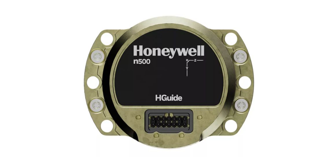
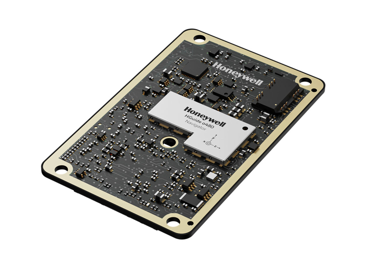
HGuide n380 Inertial Navigation System
Overview


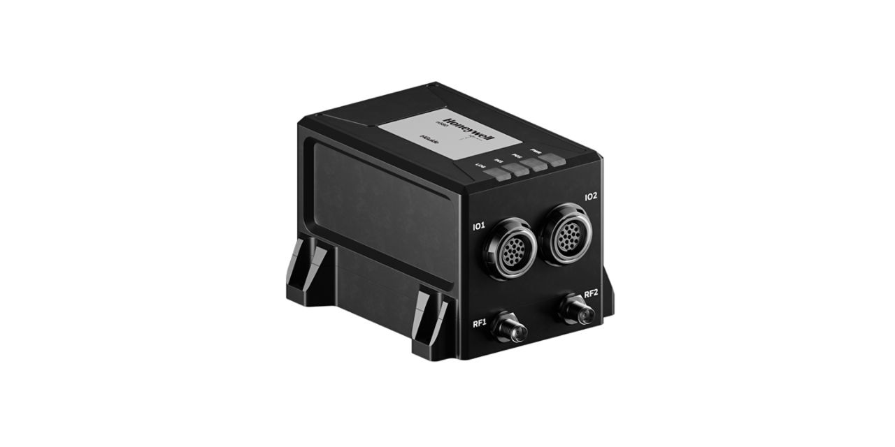
The HGuide n380 is an incredibly small, light-weight, self-contained, all-attitude Inertial Navigation System designed for applications where robust, continuous position and attitude navigation data is required. HGuide n380 contains Honeywell’s leading edge i300 inertial measurement unit (IMU) and provides a powerful dual-antenna, multi-frequency, multi-constellation RTK capability.
Honeywell’s integration expertise blends the IMU and GNSS data to provide an accurate, robust navigation service to your application with all the functionalities that you need.
The HGuide n380 output data includes time stamped position, velocity, angular rate, linear acceleration, roll, pitch and heading information. In dual-antenna mode, the device supports GNSS-based heading measurements and initialization.
Key Honeywell Advantages:
- Honeywell proven navigation algorithms for air, land and sea.
- World-class inertial sensor development, calibration, and compensation.
- Proven reliability, dependability, and ruggedness.
- Accepts RTCM3 GNSS corrections.
- Highest performing Inertial Navigation System of its size, weight and price.
- Configuration flexibility. Only purchase the features you need.
- Multiple configurable communication ports.
- The HGuide n380 is not ITAR controlled. Its Export Control Classification Number (ECCN) is 7A994.
Specifications
Weight
- 320 g
Heading (Dynamic)
- <0.08°, 1σ
Dimensions
- 90mm x 76mm x 48mm
Accelerometer Sensor Technology
- MEMS
Gyro sensor technology
- MEMS
Roll/Pitch Accuracy
- 0.03
Position (inertial)
- <0.01m (RTK)
- <0.6m (SBAS)
GNSS Capability
- SBAS, RTK in Single or Dual Antenna mode PPP Optional
Key Benefits
- Compatible with most commercial LiDAR sensors
- Direct input of quadrature pulses from Distance Measurement Instrument (DMI)
- Honeywell Aerospace advanced navigation algorithms for air, land and sea tailored to industrial applications
- Its Export Control Classification Number (ECCN) is 7A994 and is generally available free of an export license
- Log IMU and GNSS data suitable for Post Processing
- Multiple, configurable communication ports including UART, Ethernet and CAN
- Onboard Data Logging (16GB, ~1 week of data) of IMU and GNSS data suitable for Post Processing
- Onboard NTRIP client and accepts RTCM3 corrections
- Proven reliability, dependability, and ruggedness. MTBF >50,000 hrs
Environmental Conditions
- IP68 per IEC 60529
Operating Temperature
- -40 °C to +71 °C
Internal Data Storage
- 16GB
GNSS Constellations
- BeiDou B1, B2
- GLONASS L1, L2, L3
- GPS L1, L2, L5
- Galileo E1, AltBOC, E5a, E5b
- NavlC (IRNSS) L5
Communication Ports
- RS-422 (2x), 5V CMOS, RS-232, USB, Ethernet (10/100)
Data Rate
- 100Hz
Time to First Fix
- Cold Start, < 45 Sec: Hot Start, < 20 Sec
Power Consumption
- 3.5 W Watt
Supply Voltage
- +9VDC to +36VDC
Product Number