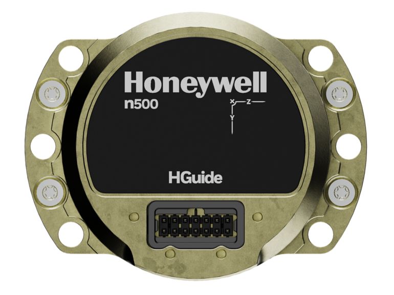
HGuide n380 Inertial Navigation System
Overview

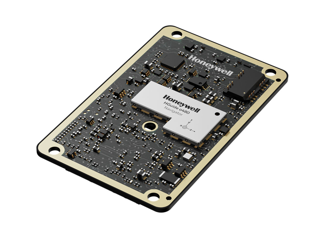
The HGuide n380 is an incredibly small, light-weight, self-contained, all-attitude Inertial Navigation System designed for applications where robust, continuous position and attitude navigation data is required. HGuide n380 contains Honeywell’s leading edge i300 inertial measurement unit (IMU) and provides a powerful dual-antenna, multi-frequency, multi-constellation RTK capability.
Honeywell’s integration expertise blends the IMU and GNSS data to provide an accurate, robust navigation service to your application with all the functionalities that you need.
The HGuide n380 output data includes time stamped position, velocity, angular rate, linear acceleration, roll, pitch and heading information. In dual-antenna mode, the device supports GNSS-based heading measurements and initialization.
Key Honeywell Advantages:
- Honeywell proven navigation algorithms for air, land and sea.
- World-class inertial sensor development, calibration, and compensation.
- Proven reliability, dependability, and ruggedness.
- Accepts RTCM3 GNSS corrections.
- Highest performing Inertial Navigation System of its size, weight and price.
- Configuration flexibility. Only purchase the features you need.
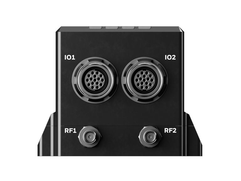
- Multiple configurable communication ports.
- The HGuide n380 is not ITAR controlled. Its Export Control Classification Number (ECCN) is 7A994.
Specifications
Key Differentiators
Certifications
- FCC, ISED, CE, RoHS, WEEE
Dimensions
Weight
- 0.77 lbs
- 320 g
Dimensions
- ~9cm x 6cm x 4.8cm
Performance Data
Supply Voltage
- +9VDC to +36VDC voltage alternating current
Power Consumption
- 3.5 Watts Watt
Operating Temperature
- -40 °C to +71 °C
GNSS Constellations
- BeiDou B1, B2
- GLONASS L1, L2, L3
- GPS L1, L2, L5
- Galileo E1, AltBOC, E5a, E5b
- NavlC (IRNSS) L5
- SBAS L1, L5 QZSS L1, L2, L5
Compatible Platform
- Any Aircraft
Resources
SortBrochure
Title
Category
Date Added
Size
White Paper
Title
Category
Date Added
Size
White Paper
10 Apr 2025
0.04 MB
Title
Category
Date Added
Size
White Paper
10 Apr 2025
0.04 MB
Product Number