AEROSPACE TECHNOLOGIES
Your browser is not supported.
For the best experience, please access this site using the latest version of the following browsers:
By closing this window you acknowledge that your experience on this website may be degraded.
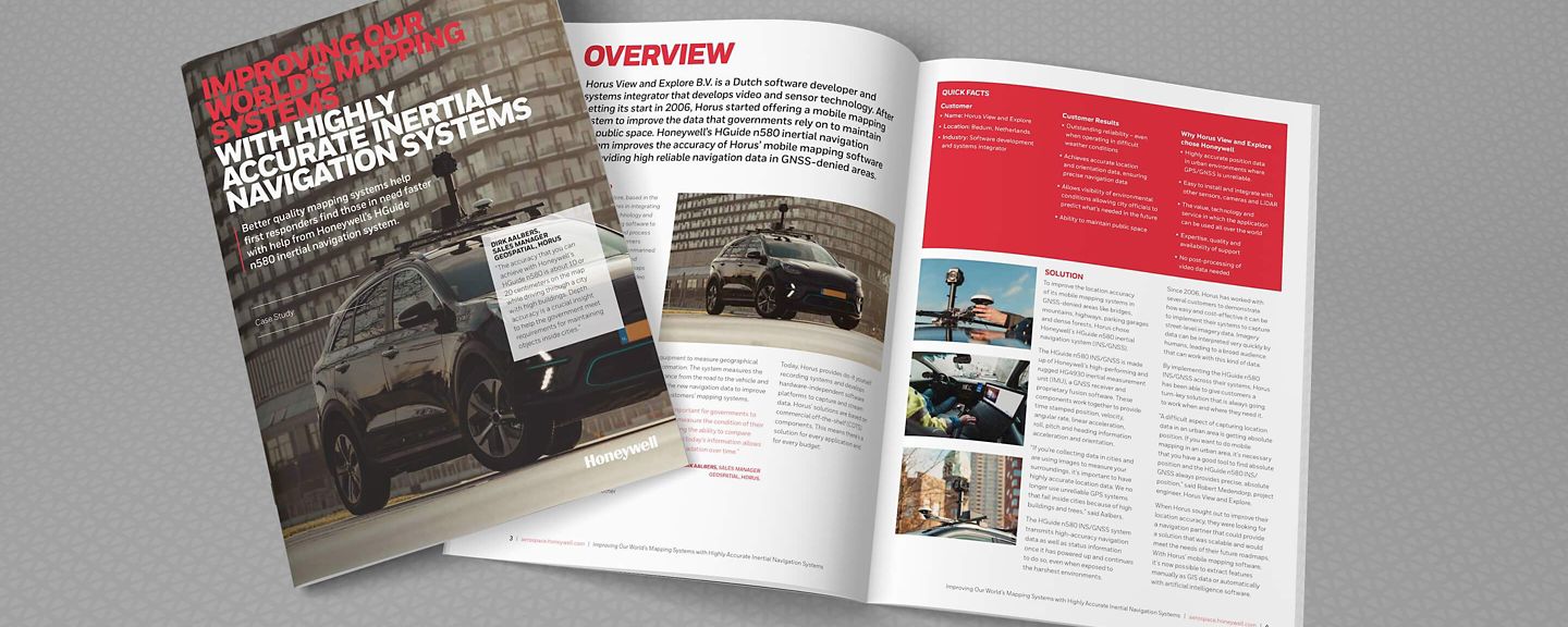
Horus View and Explore Improves Their Mobile Mapping Systems With Honeywell’s Inertial Navigation System Case Study
Horus View and Explore, based in the Netherlands, specializes in integrating video, sensor fusion technology and their proprietary mapping software to help companies collect and process geospatial data. Their customers collect this data using cars, unmanned aerial vehicles (UAVs), boats and trains to form GIS data, digital maps or geo-referenced images and video with time-stamped information.
Horus View and Explore got its start in mobile mapping in 2006 when the founder was looking for a simple, but cost-effective method to improve the accuracy of geospatial data used by organizations responsible for maintaining public areas like roads, bridges and critical infrastructure.
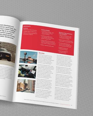
When Horus sought out to improve their location accuracy, they were looking for a navigation partner that could provide a solution that was scalable and would meet the needs of their future roadmaps. With Horus’ mobile mapping software, it’s now possible to extract features manually as GIS data or automatically with artificial intelligence software.
Horus’ mapping software and Honeywell’s HGuide n580 inertial navigation system continuously work together to provide highly reliable navigation data without any additional aiding sources. In conjunction with a simple tool like a video player, the software inputs information on top of the imagery. This means it creates an accessible way to enter data and verify the current data of the assets, stored in databases is still correct.
This e-guide can provide valuable insights to a variety of applications including, but not limited to:
• Agriculture
• Automotive
• Construction
• Gaming
• Industrial Equipment
• Infrastructure Inspections
• Marine (Surface & Subsea)
• Mining
• Oil and Gas
• Renewables
• Robotics
• Survey and Mapping
• Transportation
• Unmanned Vehicles (Marine, Ground and Aerial)
