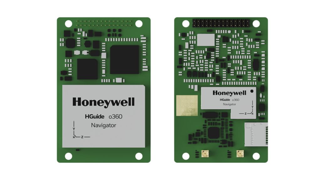
HGuide o480 Inertial/GNSS Navigator
Overview


Honeywell Aerospace's HGuide o480 INS/GNSS Navigator delivers resilient navigation for autonomous, low-cost platforms like Unmanned Aerial Vehicle (UAVs), loitering munitions, and unmanned ground or marine vehicles.
Key Features:
Key Features:
- Delivers accurate navigation even when GNSS signals are jammed, spoofed or unavailable.
- Integrates proven Honeywell MEMS gyroscopes, accelerometers, and a Septentrio GNSS receiver combined via Honeywell’s Navigation filter for precise position, attitude, and timing information.
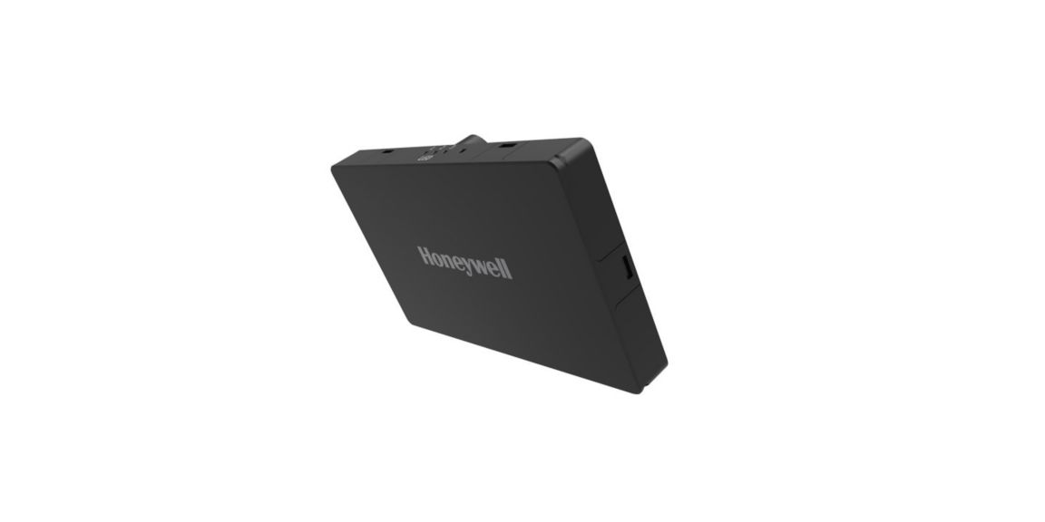
- Compact and lightweight: 71.1x 45.7 x 8 millimeters, weighing just 26 grams
- Fully compatible with Honeywell HRVS Radar Velocity Sensor for Air and Land vehicles
- Full INS/GNSS capability in a standard GNSS form factor.
- Alternative navigation aids reduce GNSS-denied error to <0.5% of total distance traveled.
- Equipped with Septentrio AIM+ anti-jamming technology for continued GNSS operation under moderate jamming.
- Greater than 120,000 hours mean time between failures (MTBF).
- Available without an export license in most regions.
- Designed and manufactured in the EU
Specifications
Accelerometer Sensor Technology
- MEMS
Gyro sensor technology
- MEMS
Roll/Pitch Accuracy
- < 0.015
Position (inertial)
- <0.006m (RTK) <0.6m (SBAS)
Key Benefits
- Blended Navigation data rate = 400Hz
- Designed and manufactured in the EU
- Drivers for ROS and ROS 2. Portable C++ API available.
- Full INS/GNSS capability in a common GNSS form factor
- Honeywell advanced navigation algorithms for air, land and marine applications
- Multiple PPP correction options available
- Onboard NTRIP client and accepts RTCM3 corrections
- Raw IMU Data Rate up to 400Hz, GNSS 20Hz
- Support for external IMUs to scale performance
- Wide range of Velocity Aiding sources, including quadrature pulses and data messages from a DMI, Honeywell HRVS for land and aerial platforms and DVL for marine platforms.
GNSS Capability
- SBAS, RTK in Single or Dual Antenna mode PPP Optional
Weight
- 26 g
Heading (Dynamic)
- <0.06°, 1σ
Dimensions
- 71.1mm x 45.7mm x 8mm
Time to First Fix
- Cold Start = 45 Sec, Warm Start = 20 Sec
Supply Voltage
- +3.3VDC to 5VDC
Power Consumption
- 1.5 Watts Watt
Operating Temperature
- -40°C to +85°C
Internal Data Storage
- 16Gb
GNSS Constellations
- BeiDou B1, B2, B3
- GLONASS L1, L2
- GPS L1, L2
- Galileo E1, E5b
- SBAS EGNOS, WAAS, GAGAN, MSAS, QZSS L1, L2
Data Rate
- 400Hz
Communication Ports
- 5 x UART (LVCMOS), USB, Ethernet & NTRIP Client, 2 x CAN (ISO 11898-2)