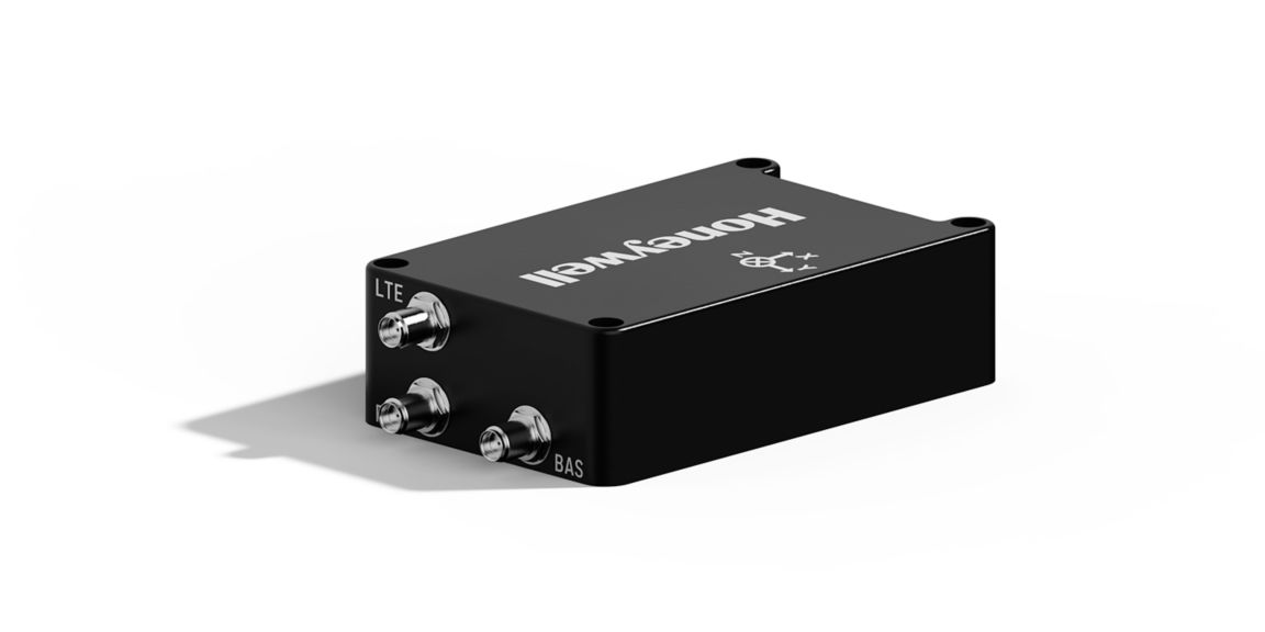
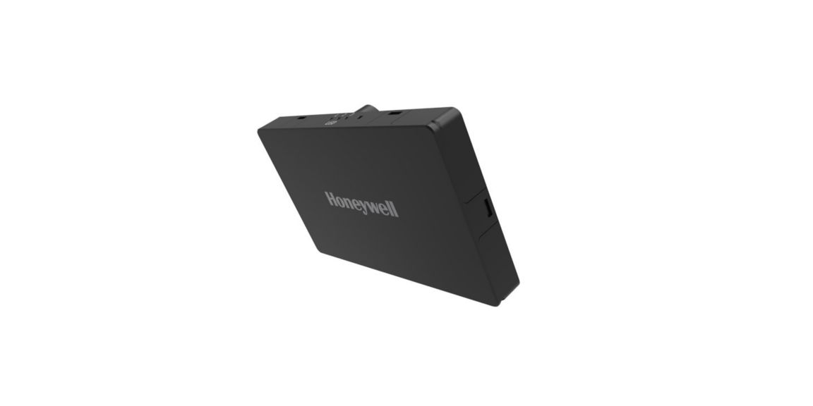
Honeywell Compact Inertial Navigation System
HCINS is roughly the size of a deck of cards and offers seamless plug-and-play integration with Pixhawk autopilot systems—making it ideal for both rotary and fixed-wing UAV platforms.HCINS is part of Honeywell’s Resilient UAV Navigation Suite, which also includes the Honeywell Radar Velocity System (HRVS) and the GPSdome Anti-Jamming System. When paired with HRVS, HCINS enables UAVs to operate in fully GPS-denied environments with a position error of less than 3% of distance traveled.
The HGuide HCINS is designed and built at a Honeywell facility. It has an ECCN of 7A994 and is generally available without an export license.
Compatible Platform
Specifications
Key Benefits
- Compatible with Honeywell Aerospace HRVS for aerial platforms
- Designed in the EU
- Honeywell Aerospace advanced navigation algorithms for air, land and marine applications
- Low SWaP package
- Plug n play Integration with Pixhawk (Arducopter, PX4, and Mission Planner)
Accelerometer Sensor Technology
- MEMS
Roll/Pitch Accuracy
- 0.02 (with RTK)
Position Error
- 0.03/0.015 m (HCINS RTK)
- 2.5 m (HCINS)
- 2.5 m (Pixhawk 2.1)
Position
- 2.5 m
Gyro sensor technology
- MEMS
GNSS Capability
- RTK, GNSS Heading (with dual antenna)
GNSS
- Dedicated BAS (Base) and ROV (Rover) SMA connector for antenna
Features
- Heading: 0.28 (deg)
- MEMS based navigator
- Position Error: 2.5 m (standalone)
Weight
- 115 g
Size
- 96mm x 60mm x 28mm (excluding damping platform) millimetre
Heading (Dynamic)
- 0.15° (RTK)
- 0.28° (Standard)
Dimensions
- 100mm x 67mm x 13mm (damping platform)
- 162cm³ / 96mm x 60mm x 28mm (excluding damping platform)
Depth
- 28 mm
Time to First Fix
- 24 sec
Supply Voltage
- +4.5 – 5.5VDC (2A)
Power Consumption
- 3 W Watt
Power
- PWR connector: connection with power source. Watt
Operating Temperature
- -40 to + 85°C
Non-operating Temperature Range
- -40 to + 85°C
Internal Data Storage
- Removable micro SD card up to 32GB
GNSS Constellations
- BeiDou B1I B2I
- GLONASS L1OF, L2OF
- GPS L1C/A, L2C
- Galileo E1B/C E5b
- QZSS L1C/A L1S L2C
- SBAS L1C/A
External LED Status Support
- Data Logging
- Navigation (Init, Nav, Nav GNSS RTK)
Ethernet Communication
- Configurable staic IP address.
- ETH connector: connection with computer (RJ-45).
Data Storage
- Micro SD card tray (up to 32GB).
Data Rate
- 100Hz
Communication Ports
- EAP connector: connection with External Aiding System (3V3CMOS).


