AEROSPACE TECHNOLOGIES
Your browser is not supported.
For the best experience, please access this site using the latest version of the following browsers:
By closing this window you acknowledge that your experience on this website may be degraded.
Navigation Systems
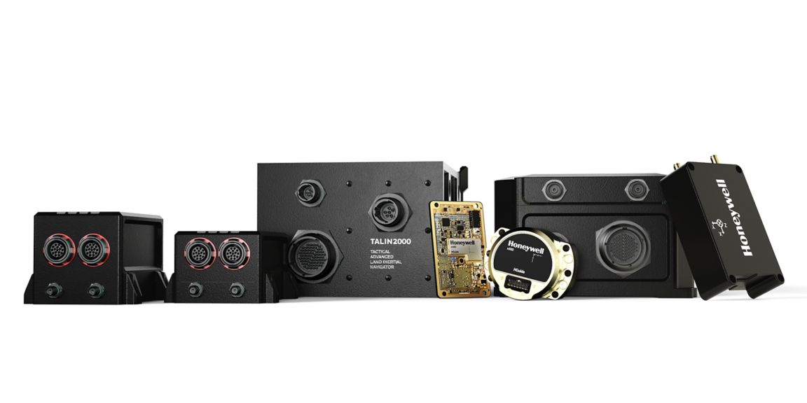
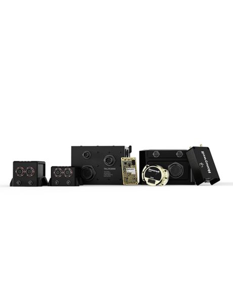
Honeywell Aerospace is a global leader in resilient navigation, especially in challenging environments. Our wide range of inertial navigators can be found in diverse industries within the aerospace, defense and industrial markets.
Honeywell Aerospace is a global leader in resilient navigation, especially in challenging environments. Our wide range of inertial navigators can be found in diverse industries within the aerospace, defense and industrial market.
Refine By
Clear
Navigator Product Family
You can only request up to 6 free samples. Please remove one or more products from your sample bag before requesting another sample
×
