×

Your browser is not supported.

For the best experience, please access this site using the latest version of the following browsers:

Close This Window

By closing this window you acknowledge that your experience on this website may be degraded.

TALIN Inertial Land Navigator Family
Overview
Honeywell’s Tactical Advanced Land Inertial Navigator (TALIN) utilizes our industry-leading GG1320 digital ring laser gyro and Q-Flex accelerometers to provide customers with highly durable, precise and reliable inertial navigation systems. TALINs are easily installed and can be mounted in any orientation, which provides customers with an inertial navigation system that is smaller, lighter and more reliable than other competing products.TALIN inertial navigation systems are proven, battle-tested and are used in a variety of different applications with more than 16,000 TALIN systems in the air, on land and at sea across 60 commercial and military platforms worldwide.Whether you’re looking for our best-in-class TALIN 6000 or a cost-effective TALIN 1000, our performance levels are configurable to meet a variety of commercial and military needs that have different compatibility requirements.

Compatible Aircraft

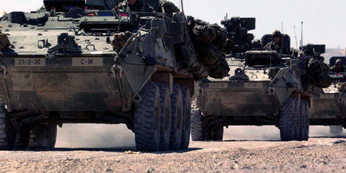
Armored Vehicles
Artillery application
Construction, Geological Survey, Maritime, Mining, Oil & Gas
Construction, Geological Survey, Maritime, Mining, Oil and Gas
Military light to medium vehicles
Radar/satcom stabilization, missile launcher pointing/stabilization
Secondary Safety Navigation System for Indirect Fire

Specifications

Key Differentiators

  • Features & Benefits

    • Can be hard mounted in any orientation
    • Light, small and power efficient
  • Key Savings

    • Cost-effective system
    • TALIN 500 and TALIN 2000 systems are designed specifically to meet the needs of light vehicle operators at a lower price point

Dimensions

  • Weight

    • ~13 lbs(6kg)*
  • Dimensions

    • Approx. 14 H x 19 W x 22 L cm
    • Approx. 5.4 H x 7.6 W x 8.6 L in
    • Approx. 5.4 H x 7.6 W x 8.6 L inches

Performance Data

  • Software

    • Dynamic Point-on-TheMove capability – Provides first-strike capability
    • Field upgradable
    • Modular- partitioned for cost-effective system missionisation
    • Works even in GPS denied environments
  • Power Consumption

    • 18-32Vdc: <26 watts Watt
  • Operating Temperature

    • No cooling required: -46°C to 71°C (-51°F to 160°F)
  • Mean Time Between Failures (MTBF)

    • >50,000 hours (TALIN demonstrated)


Resources

Sort
Others
Title
Category
Date Added
Size
05 Feb 2025
0.82 MB
05 Feb 2025
4.75 MB
05 Feb 2025
0.59 MB
05 Feb 2025
7.31 MB
Brochure
Title
Category
Date Added
Size
05 Feb 2025
0.27 MB
05 Feb 2025
4.53 MB
05 Feb 2025
0.74 MB
Infographic
Title
Category
Date Added
Size
05 Feb 2025
0.45 MB
Case Study
Title
Category
Date Added
Size
Title
Category
Date Added
Size
05 Feb 2025
0.82 MB
05 Feb 2025
0.45 MB
05 Feb 2025
4.75 MB
05 Feb 2025
0.27 MB
05 Feb 2025
0.59 MB
05 Feb 2025
4.53 MB
05 Feb 2025
0.74 MB
05 Feb 2025
7.31 MB