AEROSPACE TECHNOLOGIES
Your browser is not supported.
For the best experience, please access this site using the latest version of the following browsers:
By closing this window you acknowledge that your experience on this website may be degraded.
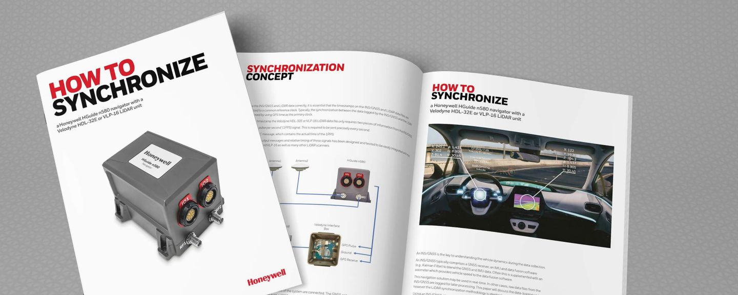
How to Synchronize a Honeywell HGuide n580 Navigator With a Velodyne HDL-32E or VLP-16 Lidar Unit E-Guide
Users needing to collect and process light detection and ranging (LIDAR) data from mobile applications need to know the location of the scanner to anchor the data logged and subsequent 3D image to a real latitude, longitude and height.
Honeywell has been producing high-performance inertial sensors for decades and has delivered more than 500,000 units to serve as navigation aids to help customers obtain the navigational data they need to be successful while using LIDAR.
Download our free e-guide, “How to Synchronize a Honeywell HGuide n580 Navigator With a Velodyne HDL-32E or VLP-16 Lidar Unit” to learn more.
This e-guide can provide valuable insights to a variety of applications including, but not limited to:
• Agriculture
• Automotive
• Construction
• Gaming
• Industrial Equipment
• Infrastructure Inspections
• Marine (Surface & Subsea)
• Mining
• Oil and Gas
• Renewables
• Robotics
• Survey and Mapping
• Transportation
• Unmanned Vehicles (Marine, Ground and Aerial)
