Honeywell Compact Inertial Navigation System
Overview


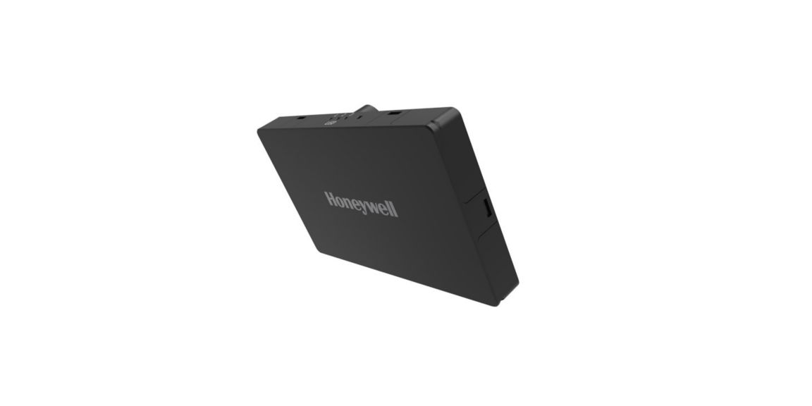
The Honeywell Aerospace Compact Inertial Navigation System (HCINS) is a low size, weight, and power (SWaP) solution designed for all classes of unmanned aerial vehicles (UAVs). Engineered to ensure safe and reliable navigation during intermittent GNSS disruptions.
HCINS is roughly the size of a deck of cards and offers seamless plug-and-play integration with Pixhawk autopilot systems—making it ideal for both rotary and fixed-wing UAV platforms.HCINS is part of Honeywell’s Resilient UAV Navigation Suite, which also includes the Honeywell Radar Velocity System (HRVS) and the GPSdome Anti-Jamming System. When paired with HRVS, HCINS enables UAVs to operate in fully GPS-denied environments with a position error of less than 3% of distance traveled.
The HGuide HCINS is designed and built at a Honeywell facility. It has an ECCN of 7A994 and is generally available without an export license.
Specifications
Accelerometer Sensor Technology
- MEMS
Gyro sensor technology
- MEMS
GNSS
- Dedicated BAS (Base) and ROV (Rover) SMA connector for antenna
Roll/Pitch Accuracy
- 0.02 (with RTK)
GNSS Capability
- RTK, GNSS Heading (with dual antenna)
Position Error
- 0.03/0.015 m (HCINS RTK)
- 2.5 m (HCINS)
- 2.5 m (Pixhawk 2.1)
Key Benefits
- Compatible with Honeywell Aerospace HRVS for aerial platforms
- Designed in the EU
- Honeywell Aerospace advanced navigation algorithms for air, land and marine applications
- Low SWaP package
- Plug n play Integration with Pixhawk (Arducopter, PX4, and Mission Planner)
Position
- 2.5 m
Features
- Heading: 0.28 (deg)
- MEMS based navigator
- Position Error: 2.5 m (standalone)
Non-operating Temperature Range
- -40 to + 85°C
Operating Temperature
- -40 to + 85°C
External LED Status Support
- Data Logging
- Navigation (Init, Nav, Nav GNSS RTK)
Ethernet Communication
- Configurable staic IP address.
- ETH connector: connection with computer (RJ-45).
Internal Data Storage
- Removable micro SD card up to 32GB
GNSS Constellations
- BeiDou B1I B2I
- GLONASS L1OF, L2OF
- GPS L1C/A, L2C
- Galileo E1B/C E5b
- QZSS L1C/A L1S L2C
- SBAS L1C/A
Communication Ports
- EAP connector: connection with External Aiding System (3V3CMOS).
Data Storage
- Micro SD card tray (up to 32GB).
Data Rate
- 100Hz
Time to First Fix
- 24 sec
Power Consumption
- 3 W Watt
Supply Voltage
- +4.5 – 5.5VDC (2A)
Power
- PWR connector: connection with power source. Watt
Heading (Dynamic)
- 0.15° (RTK)
- 0.28° (Standard)
Dimensions
- 100mm x 67mm x 13mm (damping platform)
- 162cm³ / 96mm x 60mm x 28mm (excluding damping platform)
Weight
- 115 g
Depth
- 28 mm
Size
- 96mm x 60mm x 28mm (excluding damping platform) millimetre
Product Number