-
Location
-
North America
-
Latin America
-
Asia Pacific
- |
- Sales & Service Partners
- |
-
Select Shopping Cart Account
Choose the account number for your parts ordering shopping cart. Your current cart will be saved when switching accounts.
Account# Account Name City Zip/Post Code CANCELPROCEEDMy Account
AEROSPACE TECHNOLOGIES
-
Location
-
North America
-
Latin America
-
Asia Pacific
- |
- Sales & Service Partners
- |
You are browsing the product catalog for
You are viewing the overview and resources for
Your browser is not supported.
For the best experience, please access this site using the latest version of the following browsers:
By closing this window you acknowledge that your experience on this website may be degraded.
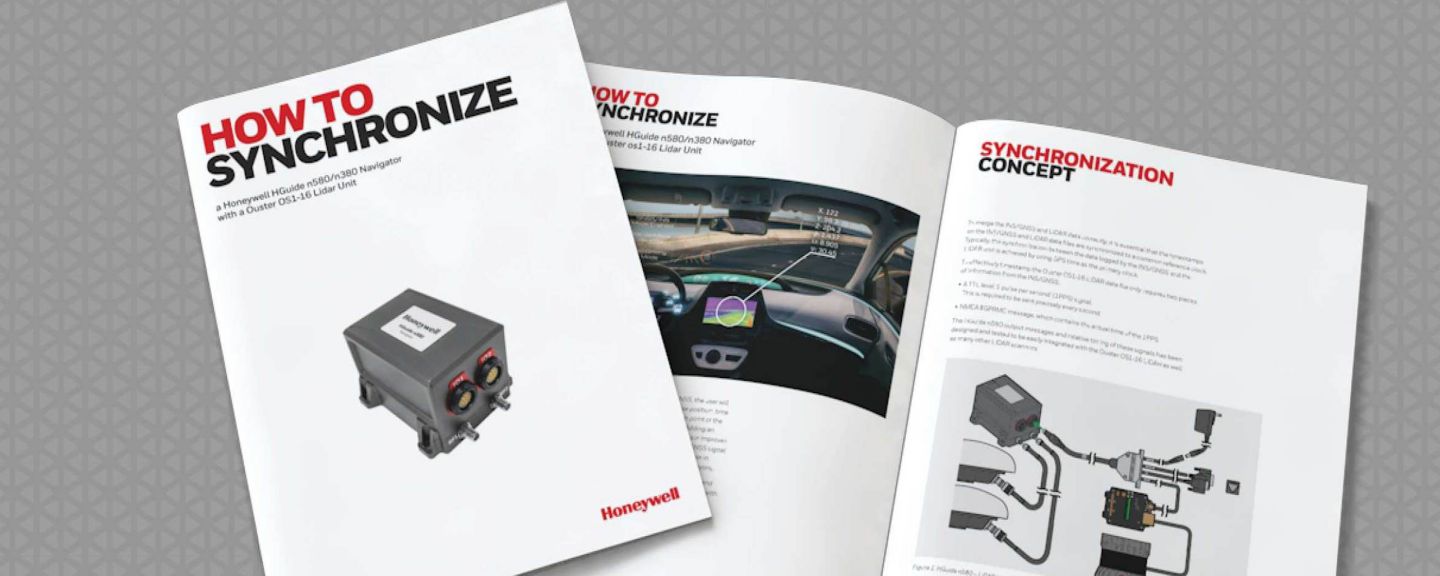
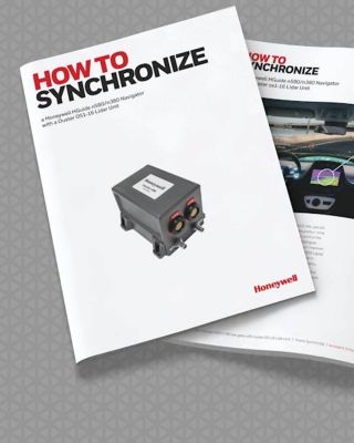
How to Synchronize an HGuide n580/n380 With an Ouster OS1-16 Lidar Unit E-Guide
Users needing to collect and process light detection and ranging (LIDAR) data from mobile applications need to know the location of the scanner to anchor the data logged and subsequent 3D image to a real latitude, longitude and height.
Honeywell has been producing high-performance inertial sensors for decades and has delivered more than 500,000 units to serve as navigation aids to help customers obtain the navigation data they need to be successful while using LIDAR.
Download our free e-guide, “How to Synchronize an HGuide n580/n380 With an Ouster OS1-16 Lidar Unit E-Guide” to learn more.
This e-guide can provide valuable insights to a variety of applications including, but not limited to:
- Agriculture
- Automotive
- Construction
- Gaming
- Industrial Equipment
- Infrastructure Inspections
- Marine (Surface & Subsea)
- Mining
- Oil and Gas
- Renewables
- Robotics
- Survey and Mapping
- Transportation
- Unmanned Vehicles (Marine, Ground and Aerial)
Copyright © 2026 Honeywell International Inc.

Maximum File Size
Maximum Files Exceeded
Due to inactivity you will be logged out in 000 seconds.
Maximum File Size
Maximum Files Exceeded
Your documents are ready for you. Please click here to open.
Maximum File Size
Maximum Files Exceeded
There is an issue with invoices zip file download. Please go back and try again later. Thanks!
Maximum File Size
Maximum Files Exceeded
Your orders excel is ready for download. Please click here to download.
Maximum File Size
Maximum Files Exceeded
There is an issue with orders excel file download. Please go back and try again later. Thanks!